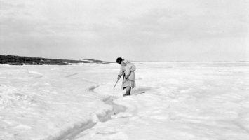
Claudio has done ethnographic research in the Canadian Arctic since 1998. He has documented Inuit knowledge and use of marine and coastal areas in the Eastern Canadian Arctic and in Nunavik. Claudio’s research has also focused on the geographic representation of indigenous environmental knowledge. His projects have been funded by Wenner-Gren, SSHRC, NSERC, National Geographic Society, Canada Foundation for Innovation, Levrhulme Trust, the Government of Nunavut, and a number of indigenous organizations. He is also a faculty member of the Geomatics and Cartographic Research Centre at Carleton University, and the current director of Dalhousie University’s Esri GIS Centre of Excellence for Higher Education. Some outcomes of Claudio’s work include the creation of digital atlases (see http://paninuittrails.org, and http://sikuatlas.ca/index.html).
His current interests are connected to co-management, sustainable communities, Marine Spatial Planning, indigenous and local coastal knowledge, and knowledge mobilization.